

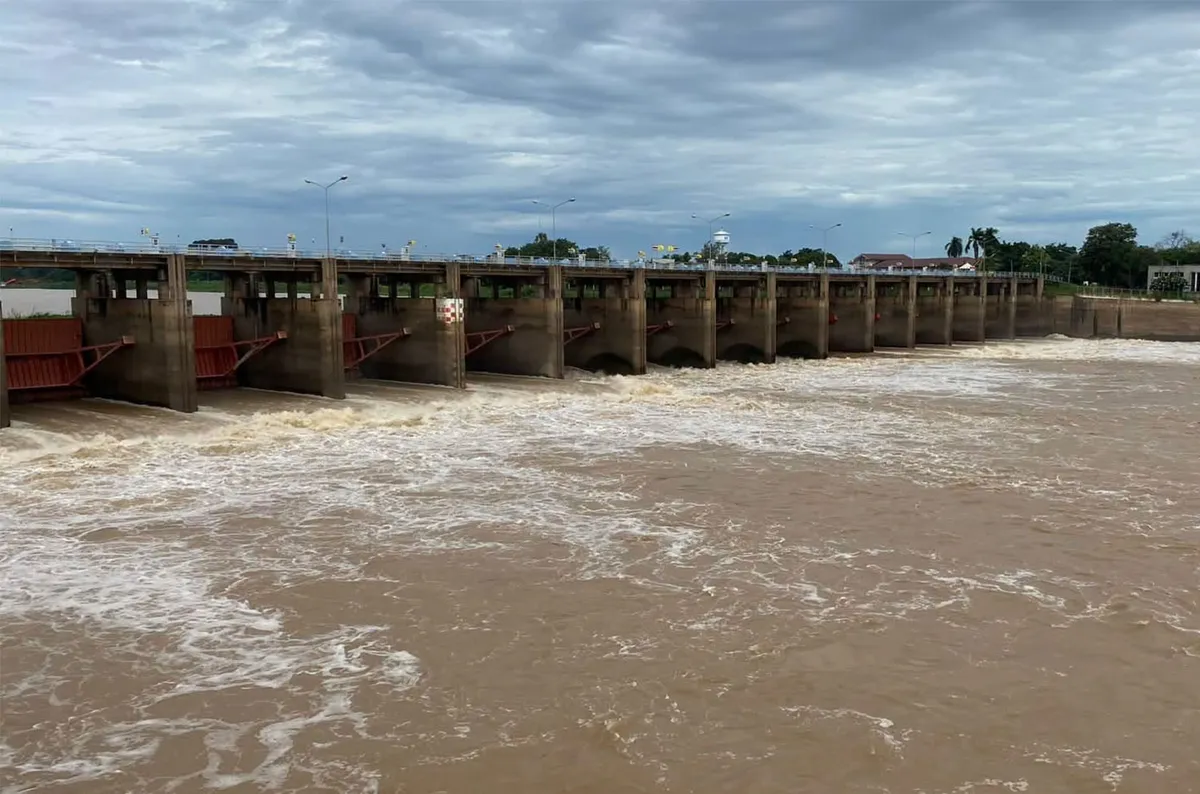
Authorities have issued a heightened warning for 11 provinces in the Chao Phraya River Basin due to persistently heavy rainfall upstream, which is significantly increasing water flow. The Royal Irrigation Department (RID) has alerted governors in Uthai Thani, Chai Nat, Sing Buri, Ang Thong, Ayutthaya, Suphan Buri, Lop Buri, Pathum Thani, Nonthaburi, Samut Prakan, and Bangkok, urging preparedness for potential rises in river levels.
Anticipated Water Flow and Discharge
The RID projects that by September 29th, the water flow at the C.2 monitoring station in Muang district, Nakhon Sawan, is expected to reach between 1,400 and 1,450 cubic metres per second. This figure accounts for the increased volume from upstream rainfall. Additionally, tributaries feeding into the Chao Phraya River are anticipated to contribute an extra 150 to 200 cubic metres per second. Consequently, the total water volume upstream of the Chao Phraya Dam is estimated to be around 1,550 to 1,650 cubic metres per second.
To manage this influx, the irrigation system on both sides of the Chao Phraya Basin is slated to receive between 400 and 450 cubic metres per second. The RID has determined it necessary to release between 1,000 and 1,300 cubic metres per second downstream from the Chao Phraya Dam to mitigate potential flooding risks.
Potential Impact on Low-Lying Areas
This increased discharge is expected to cause river levels to rise by 0.5 to 1.5 metres above their current levels. While the RID stated that these rises are not anticipated to affect residential areas directly, low-lying areas situated outside of existing flood embankments in Ayutthaya province, specifically in the districts of Sena, Phak Hai, Bang Ban, Phra Nakhon Si Ayutthaya, Bang Pa-in, and Bang Sai, may experience higher water inundation. Residents in these vicinities are advised to be vigilant.
The department has indicated that further warnings would be issued if upstream water volumes continue to increase, pushing the discharge rate through the dam above the 1,300 cubic metres per second threshold. Such a scenario would necessitate a re-evaluation of the flood mitigation strategy.
Current Water Levels and Dam Operations
As of the latest reports, the water flow at station C.2 in Nakhon Sawan is approximately 1,400 cubic metres per second, aligning with the upper end of current conditions. At the Chao Phraya Dam, located in Sapphaya district of Chai Nat province, the upstream water level is recorded at 16.79 metres above mean sea level, with the downstream level at 11.07 metres. Currently, the water level is 5.27 metres below the riverbank. The dam is presently releasing water at a rate of 990 cubic metres per second.
Preparedness and Monitoring Advised
In light of the evolving water situation, the RID strongly advises all 11 provincial authorities within the Chao Phraya River Basin, along with relevant agencies and residents living along both the Chao Phraya and Noi rivers, to maintain close observation of water conditions. Staying informed through official updates and advisories is crucial for ensuring timely preparedness and response to any potential flooding events. This proactive approach aims to minimize risks and safeguard communities throughout the basin.
