

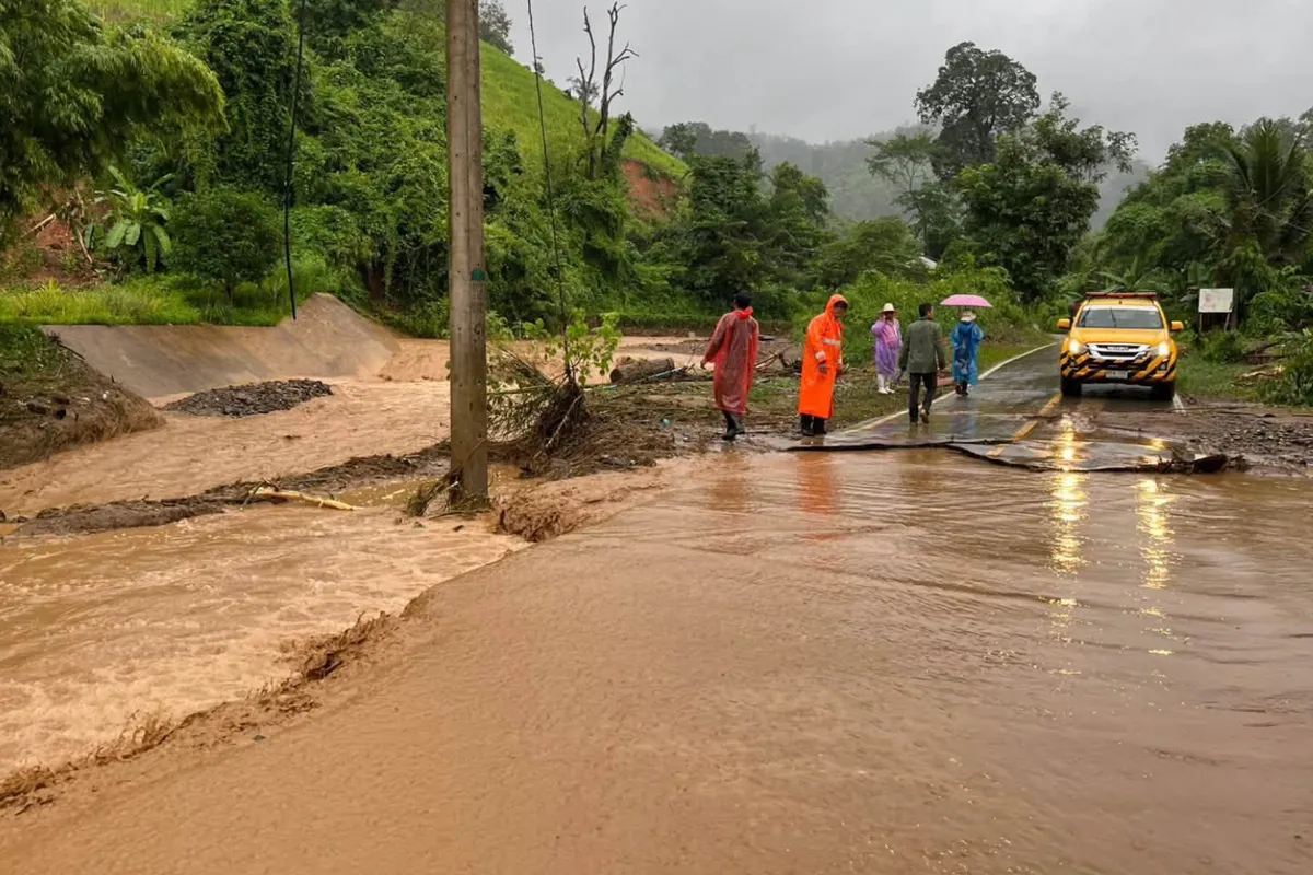
Authorities have issued alerts for torrential downpours across 24 provinces as a monsoon trough moves through the northern and northeastern regions, coinciding with a moderate southwest monsoon affecting the Andaman Sea and the Gulf of Thailand. These weather patterns are expected to bring significant rainfall, including heavy to very heavy downpours, throughout the upcoming week.
Understanding the Weather Systems
The current weather situation is driven by two primary meteorological phenomena. A monsoon trough, a broad area of low pressure associated with the monsoon, is currently positioned across the northern and upper northeastern parts of the country. This system typically draws in moisture and can lead to prolonged periods of rain.
Complementing this is a moderate southwest monsoon, which is active over the Andaman Sea, adjacent landmasses, and the Gulf of Thailand. The southwest monsoon is a seasonal wind pattern that brings rain to many parts of Southeast Asia during its active period. Its presence over these maritime areas indicates a substantial influx of moisture being transported inland.
Potential Impacts and Warnings
The combination of these weather systems is forecast to result in increased rainfall intensity and volume over the next several days. Residents in areas susceptible to flooding are particularly advised to exercise caution. This includes:
- Urban Areas: Cities and towns with inadequate drainage systems are at higher risk of flash flooding due to the rapid accumulation of rainwater.
- Flood-Prone Regions: Areas located near rivers, streams, and low-lying terrain may experience river overflow and inundation.
- High-Risk Zones: Communities situated in mountainous or hilly areas should be aware of the potential for flash floods, forest runoff, and landslides. Accumulated rainfall can saturate the ground, increasing the likelihood of soil instability and debris flows.
The meteorological office urges continuous vigilance from the public, emphasizing the importance of staying informed about weather updates and heeding local advisories. Preparedness is key to mitigating risks associated with severe weather events.
Provinces on Alert
The following 24 provinces have been identified as being particularly vulnerable to the anticipated heavy rainfall and its associated hazards:
Northern Thailand:
- Mae Hong Son
- Tak
- Chiang Mai
- Chiang Rai
- Phrae
- Phayao
- Nan
- Uttaradit
- Phitsanulok
- Sukhothai
- Phetchabun
Northeastern Thailand:
- Chaiyaphum
- Nong Khai
- Bueng Kan
- Sakon Nakhon
- Nakhon Phanom
- Kalasin
- Mukdahan
- Yasothon
- Roi Et
- Amnat Charoen
- Ubon Ratchathani
Eastern Thailand:
- Chanthaburi
- Trat
Preparedness and Safety Measures
Given the forecast for continued heavy rainfall, residents in the affected provinces are advised to take proactive measures. This includes securing property, clearing drainage channels around homes, and avoiding unnecessary travel during periods of intense downpours. Emergency services are on standby to respond to any incidents that may arise. Staying updated through official weather channels is crucial for ensuring personal safety and the well-being of communities.
