

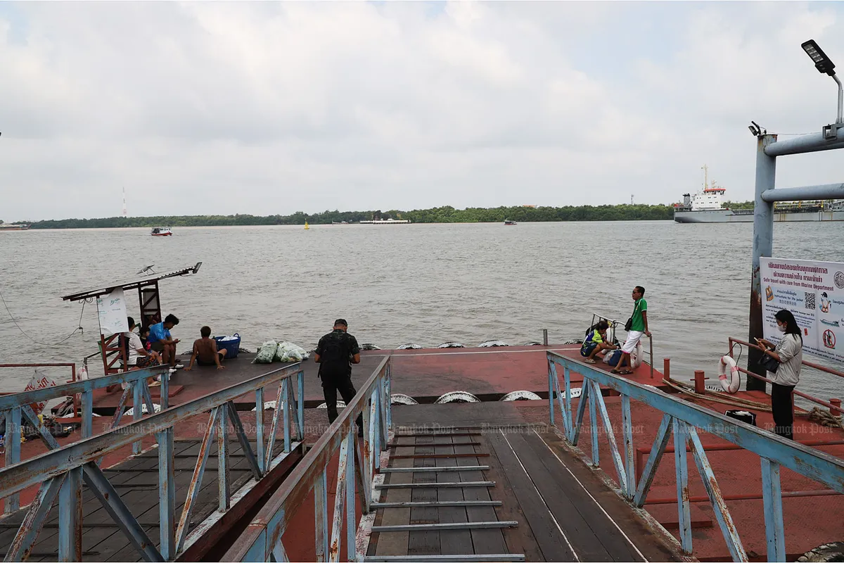
Authorities are intensifying surveillance of the Chao Phraya River basin in anticipation of increased rainfall expected between August 29 and September 2. The Royal Irrigation Department (RID) has issued directives for heightened monitoring of water levels and flow rates across the critical river system, a move designed to mitigate potential flooding risks for downstream communities.
Anticipating Increased Rainfall
Meteorological forecasts indicate a period of significant precipitation is likely to affect central Thailand, including the expansive Chao Phraya River watershed. This forecast has prompted proactive measures from the RID, an agency tasked with managing the nation’s water resources. The department’s leadership has emphasized the importance of real-time data collection and analysis to ensure swift and effective responses to any developing situations.
RID’s Proactive Monitoring Strategy
The director-general of the Royal Irrigation Department, Witthaya Kaewmee, has personally overseen the activation of enhanced monitoring protocols. This strategy involves deploying additional personnel to key observation points along the Chao Phraya River and its tributaries. The focus is on meticulously tracking:
- Water Levels: Continuous measurement of river depth at various strategic locations to identify any rapid increases.
- Flow Rates: Monitoring the volume of water moving through the river system to understand the pace of water accumulation and discharge.
- Dam and Reservoir Status: Ensuring that major dams and reservoirs within the basin are operating within safe parameters, with capacity to store excess water if necessary.
- Rainfall Intensity: Correlating incoming rainfall data with river conditions to predict potential impacts.
This comprehensive approach aims to provide an early warning system, allowing for timely dissemination of information to local authorities and the public. The goal is to prevent a recurrence of past flood events by managing water flow proactively rather than reactively.
Understanding the Chao Phraya River Basin
The Chao Phraya River is Thailand’s longest and most important river, flowing through the heart of the country and serving as a vital artery for agriculture, transportation, and industry. Its basin covers a vast area of central Thailand, and its management is crucial for the economic and social well-being of millions. The river’s extensive network of tributaries and the presence of major dams, such as the Bhumibol Dam and Sirikit Dam, play a significant role in regulating water supply and flood control.
Historically, the Chao Phraya River basin has been susceptible to flooding, particularly during the monsoon season when heavy rains can overwhelm the river’s capacity. These floods can cause widespread disruption, damage infrastructure, and impact agricultural productivity. Consequently, the RID’s role in monitoring and managing water levels is paramount.
Preparedness and Flood Mitigation
In addition to enhanced monitoring, the RID is reportedly reviewing and preparing its flood mitigation infrastructure. This includes checking the operational readiness of water gates, pumps, and drainage systems throughout the affected regions. The department is also coordinating with other relevant government agencies, including the Department of Disaster Prevention and Mitigation, to ensure a unified and effective response plan is in place.
Public advisories are expected to be issued as the situation develops, providing guidance on potential risks and necessary precautions. Residents in low-lying areas and those living along the riverbanks are being urged to stay informed about weather updates and official announcements.
Conclusion: Vigilance Amidst Weather Shifts
The intensified monitoring of the Chao Phraya River basin by the Royal Irrigation Department signifies a proactive stance in managing potential flood risks associated with the anticipated rainfall. By leveraging real-time data and coordinating with various agencies, the RID aims to safeguard communities and minimize the impact of adverse weather conditions. Continued vigilance and timely communication will be key in navigating the coming days as the region prepares for potential changes in water levels.
