

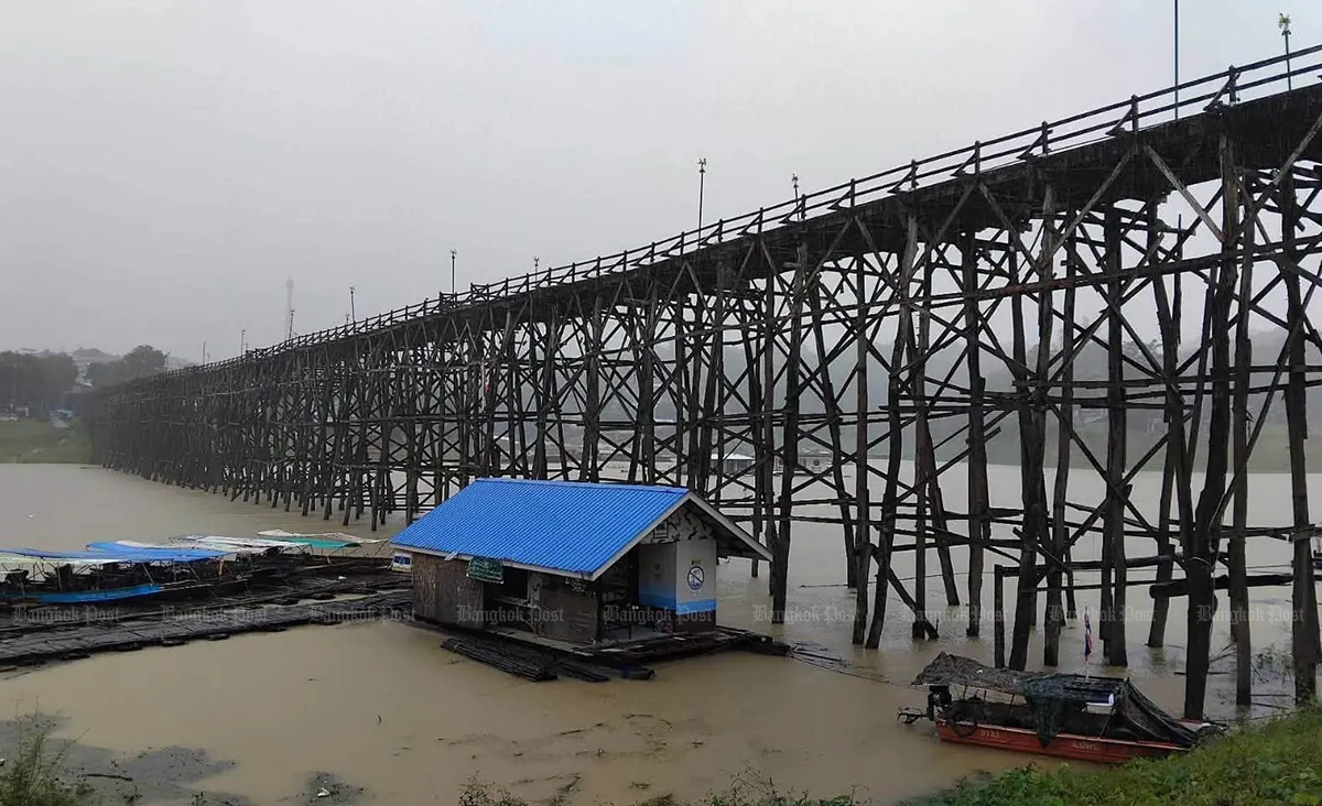
Thailand’s northern and northeastern regions are bracing for significant rainfall and an elevated risk of flooding over the next four days, according to the latest weather advisory. The Meteorological Department has issued a warning indicating widespread downpours, with some areas expected to experience heavy to very heavy precipitation.
Understanding the Weather Systems Driving the Rainfall
The anticipated wet conditions are attributed to a combination of meteorological factors. A monsoon trough currently situated over the northern and upper northeastern parts of the country is a primary driver. This is being further intensified by a fairly strong south-westerly monsoon flow originating from the Andaman Sea and extending across the Gulf of Thailand. This confluence of weather systems is expected to create a widespread pattern of rain across the upper regions of the country.
Potential for Flash Flooding and Runoff
Residents in the affected northern and northeastern provinces are being urged to exercise heightened vigilance. The primary concern is the potential for flash flooding, particularly in communities located in foothills, along riverbanks and waterways, and in low-lying areas that are historically prone to inundation. The accumulated rainfall over a short period could lead to sudden surges in water levels, causing significant runoff and potential flooding.
Authorities are advising the public to be particularly mindful of their travel routes. It is recommended to avoid areas known for recurrent flooding, especially low-lying roads where short-term waterlogging can disrupt traffic and pose risks. Staying informed about local conditions and heeding official advisories will be crucial for ensuring safety during this period.
Maritime Conditions Deteriorate
Beyond the immediate land-based concerns, maritime conditions are also forecast to become more hazardous. Between Wednesday and Friday, seafarers and coastal communities should anticipate worsening weather at sea. In the upper Andaman Sea, wave heights are projected to reach between 2 to 3 meters. During thunderstorms, these waves could escalate to heights exceeding 3 meters, presenting a significant danger to maritime activities.
Similarly, the lower Andaman Sea and the upper Gulf of Thailand will experience elevated wave activity. Forecasts indicate waves of approximately 2 meters in these areas, with the potential to rise above 2 meters in locations experiencing thundershowers. The combination of strong winds and heavy rainfall at sea contributes to these rough conditions.
Safety Advice for Maritime and Coastal Operations
In response to the deteriorating maritime forecast, the Meteorological Department has issued specific guidance for all vessels operating in the Andaman Sea and the Gulf of Thailand. All ships are advised to navigate with extreme caution, paying close attention to weather updates and actively avoiding areas affected by storms. For smaller vessels, particularly those operating in the upper Andaman Sea, a strong recommendation has been made to remain ashore throughout the duration of the warning period to prevent potential accidents.
This comprehensive weather advisory underscores the importance of preparedness and awareness. By understanding the forecast and adhering to safety guidelines, both residents and maritime operators can better mitigate the risks associated with the anticipated heavy rainfall and rough seas.
Looking Ahead: Continued Monitoring
The Meteorological Department will continue to monitor the evolving weather patterns and provide updates as necessary. The public is encouraged to stay informed through official channels and to take all appropriate precautions to ensure their safety and the safety of their property during this period of heightened weather activity.
